
7.4: Envision, Project, Evaluate and Illustrate
- Page ID
- 15595

Introduction
Imagine, Inspire and Implement are common themes when describing the process of land use planning and design. In reality, land use planning is a five step process, which includes:
- Envision—the potential in the existing situation
- Project—where and how change may occur
- Evaluate—the good and bad effects of change
- Illustrate—so that everyone observes the same vision
- Monitor— to ensure change occurs as promised
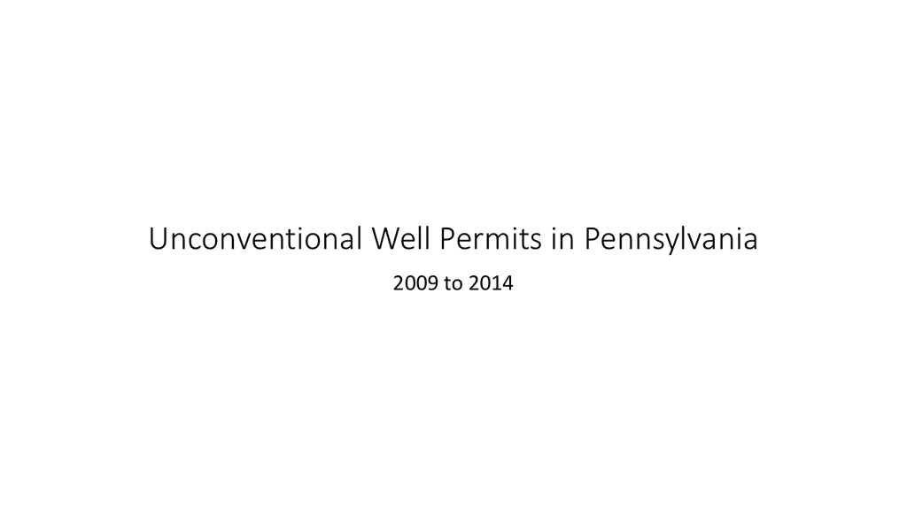
Building on stories, narratives and voices, landscape architects and planners first investigate the potential in the existing situation, by carefully examining related situations and scenarios. By studying the known, we can carefully envision changes on a broader scale, both temporally and spatially. For example, here's an animation of the changes in unconventional permits in Pennsylvania between 2009 and 2014.
Studying such patterns allow planners and landscape architects to project where change might occur and when it might happen. These aren't predictions about where changes will occur, but projections designed to begin the community engagement that allows for science based land use planning.
Projections:
Listed below are two examples about how projections can be developed from observations. Please read them.
Probabilistic Modelling and Complex Energy Landscape Design and Planning: An Experimental Approach
Evaluate and Illustrate:
The next step in planning involves framing the original stories and narratives around projects, so that preliminary evaluations can be conducted. The evaluations are then transformed into visualizations so that all involved can understand the scope and scale of potential transformations.
In the following links, the outcomes of these four steps are illustrated through a series of studio based student projects. All of these projects and focused studies were presented to community members. Please review five of the projects found here:
Exercise
The process of planning involves a thorough analysis of trade offs and consequences. In this activity, you are charged with planning and arranging natural gas production elements on a shared parcel of land to be leased for unconventional gas development, within certain parameters:
- The land is owned and inhabited by an extended family that owns the mineral as well as surface rights. Part of it is forested, part is farmland.
- The father, now retired from farm lives on the forested side of the stream.
- He wants to lease land for gas development, but without fragmenting the woods so much that it ruins the wildlife habitat and hunting grounds that he enjoys.
- The retired farmer's daughter lives on the less forested side of the stream and actively farms it. She also wants to lease the land, but does not want gas operations to compromise the amount of land she can farm.
Design a gas development scenario that accommodates these two perspectives. You must provide an access road and connect your wells via gathering lines to the pipeline and compressor station.
Draw a line down a piece of paper and describe five costs associated with the decisions you need to make and in the other column five benefits.